Log in
All resources
Create a design
39,546 Free Images of 1880 Maps
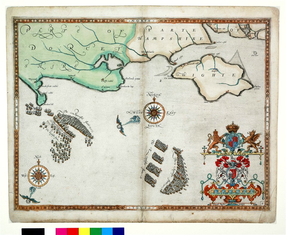
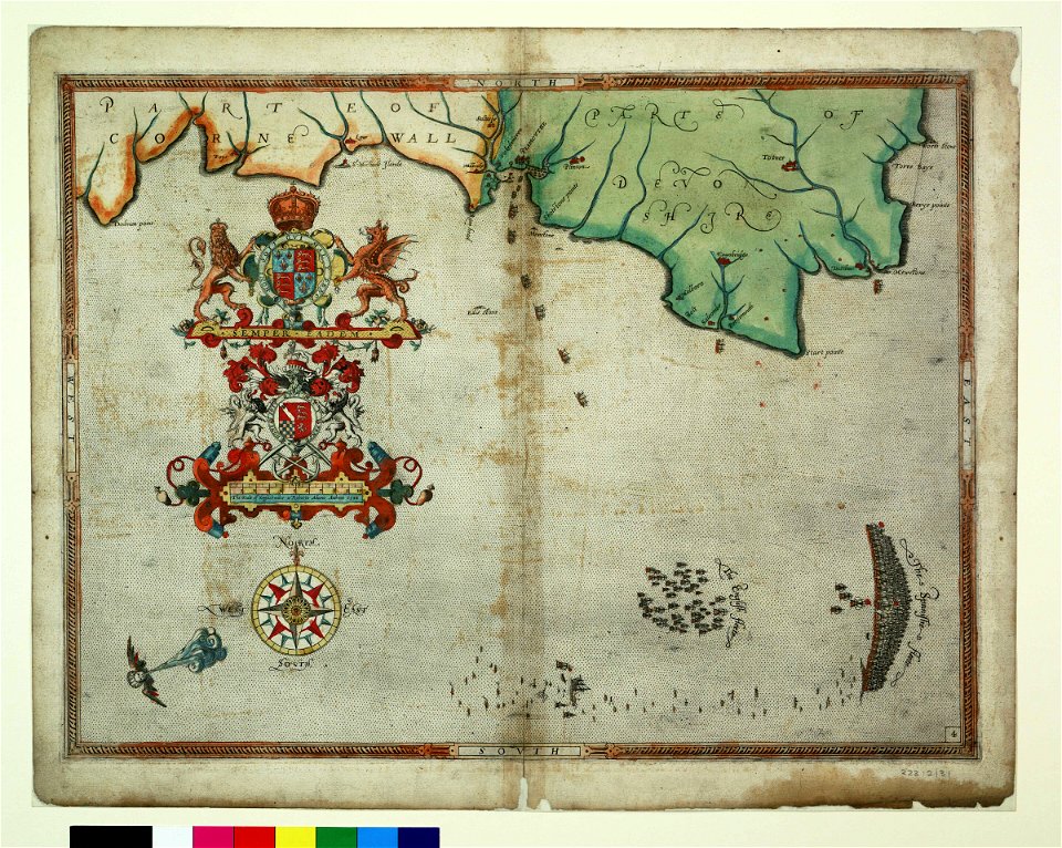
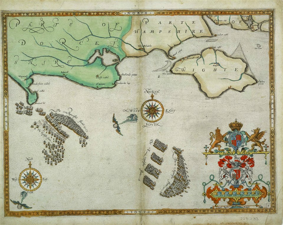
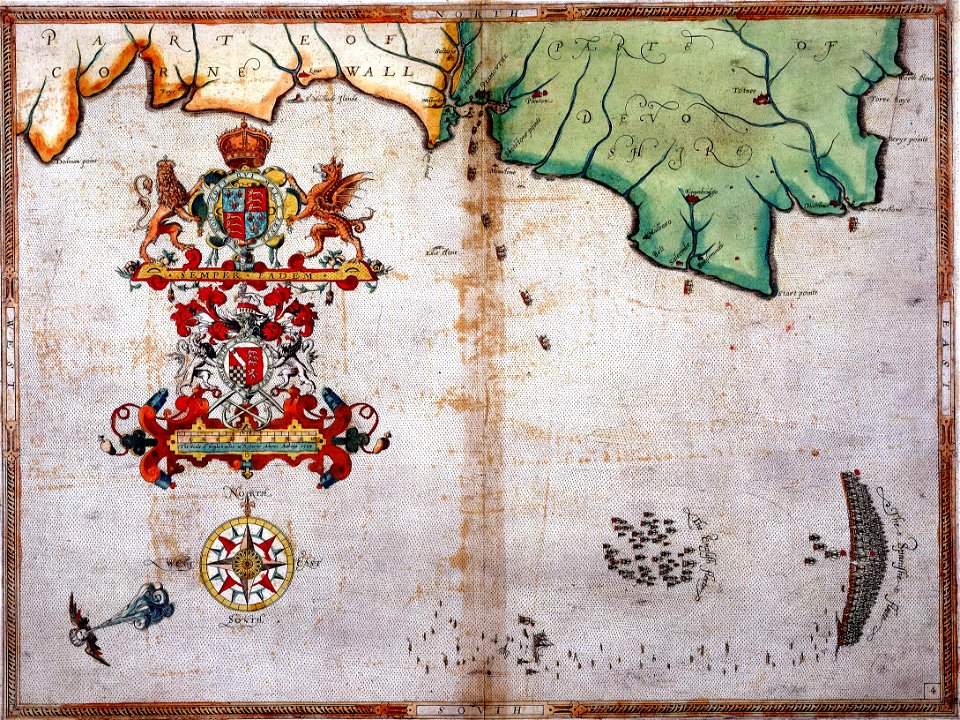
maps made in the 17th century
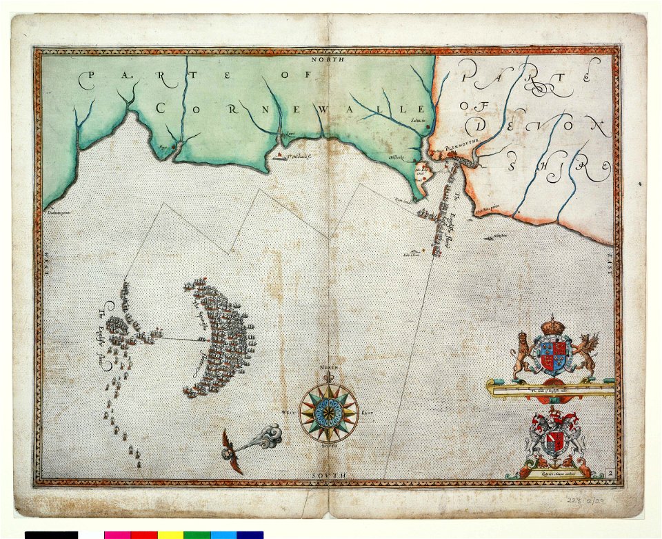
charts and maps of the royal museums greenwich
1590 maps
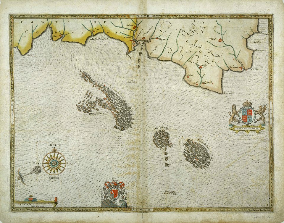
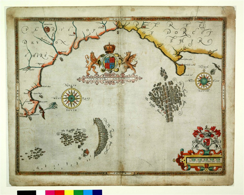
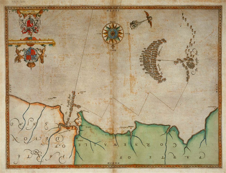
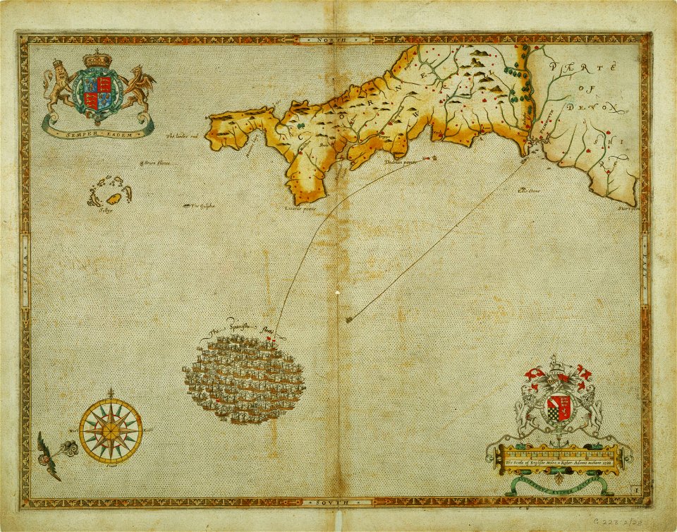
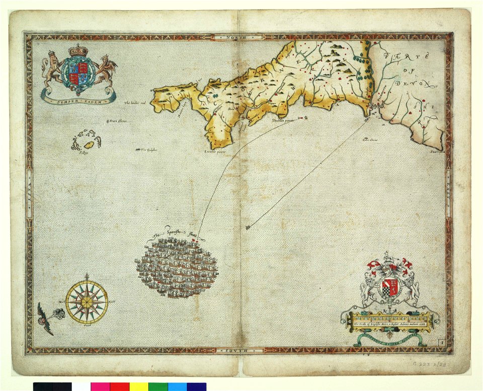
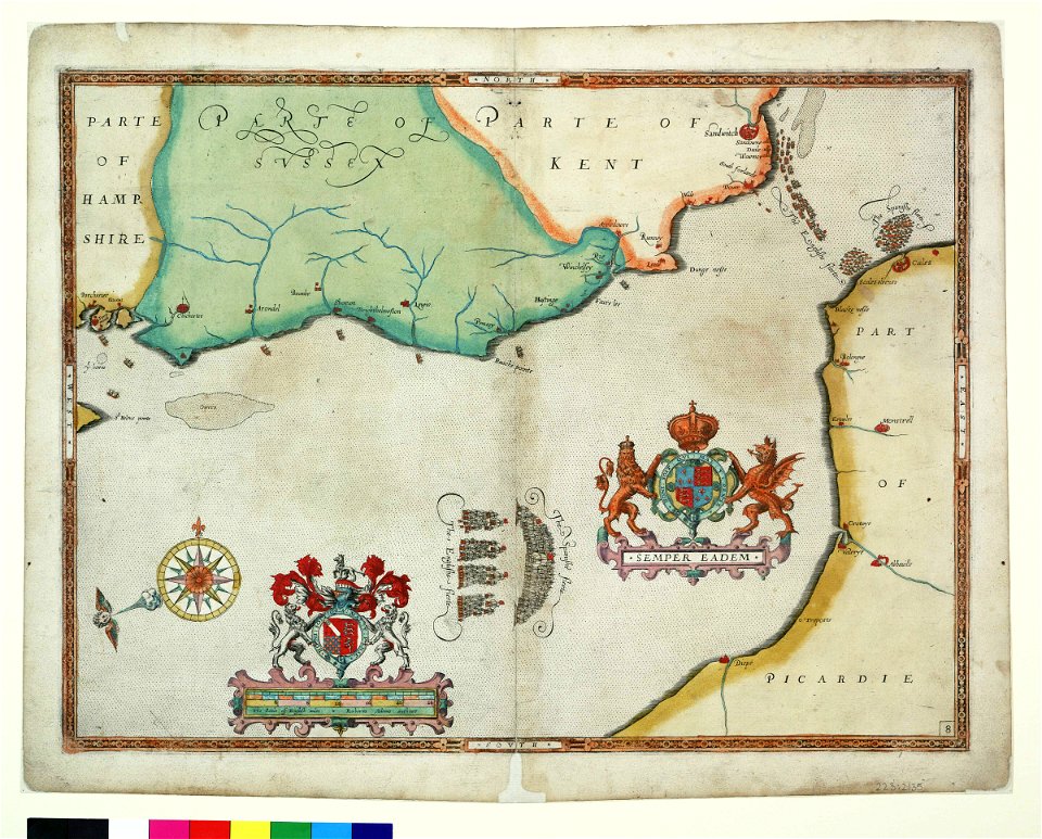
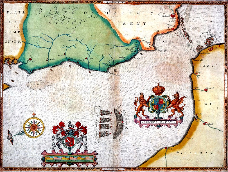
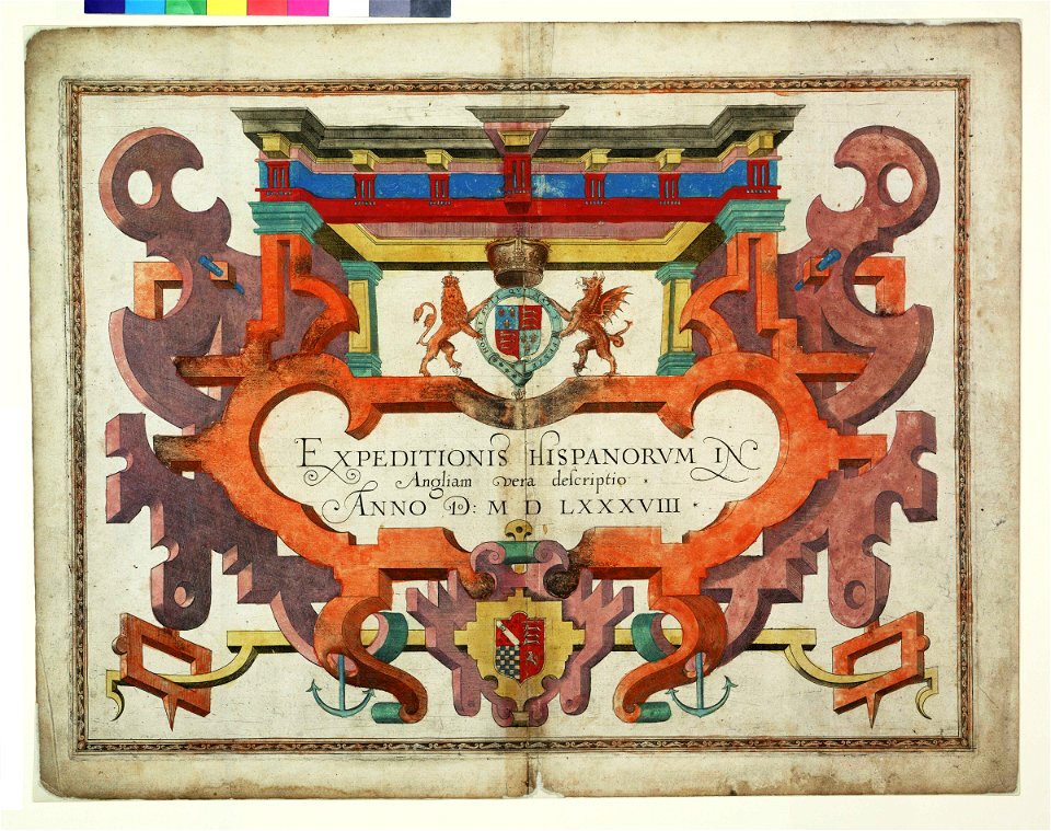
augustine ryther
expeditionis hispanorum in angliam vera descriptio anno domini mdlxxxviii
maps made in the 18th century
atlantis magni tomus secundus (biblioteca comunale di trento)
atlantis magni tomus tertius (biblioteca comunale di trento)
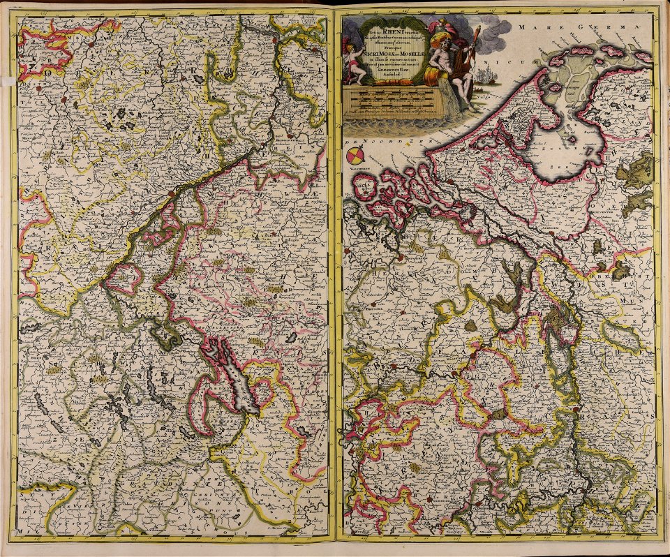
nicolaes visscher ii
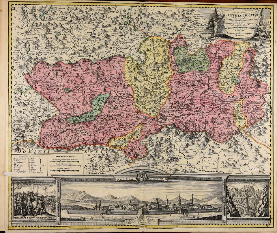
johann baptist homann
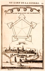
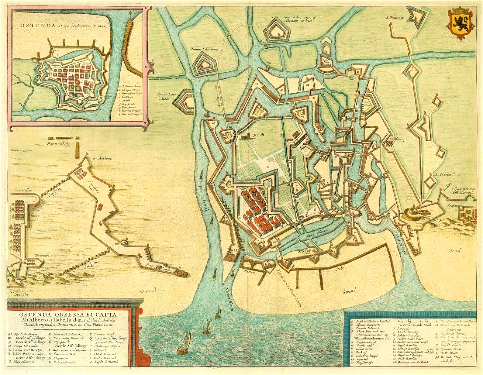
old maps of calais
pentagon
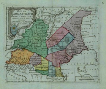
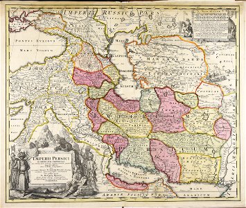
small atlas of the russian empire (1796)
old maps of viceroyalty of the caucasus
atlantis magni tomus quartus (biblioteca comunale di trento)
maps made in the 18th century
atlantis magni tomus quartus (biblioteca comunale di trento)
maps made in the 17th century
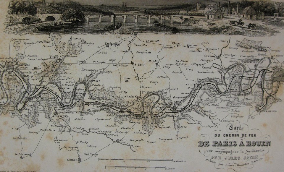
alfred johannot
bridge of arts
images from the john carter brown library
maps by samuel de champlain
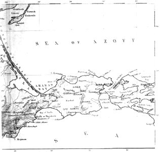
old maps of the sea of azov
1856 maps
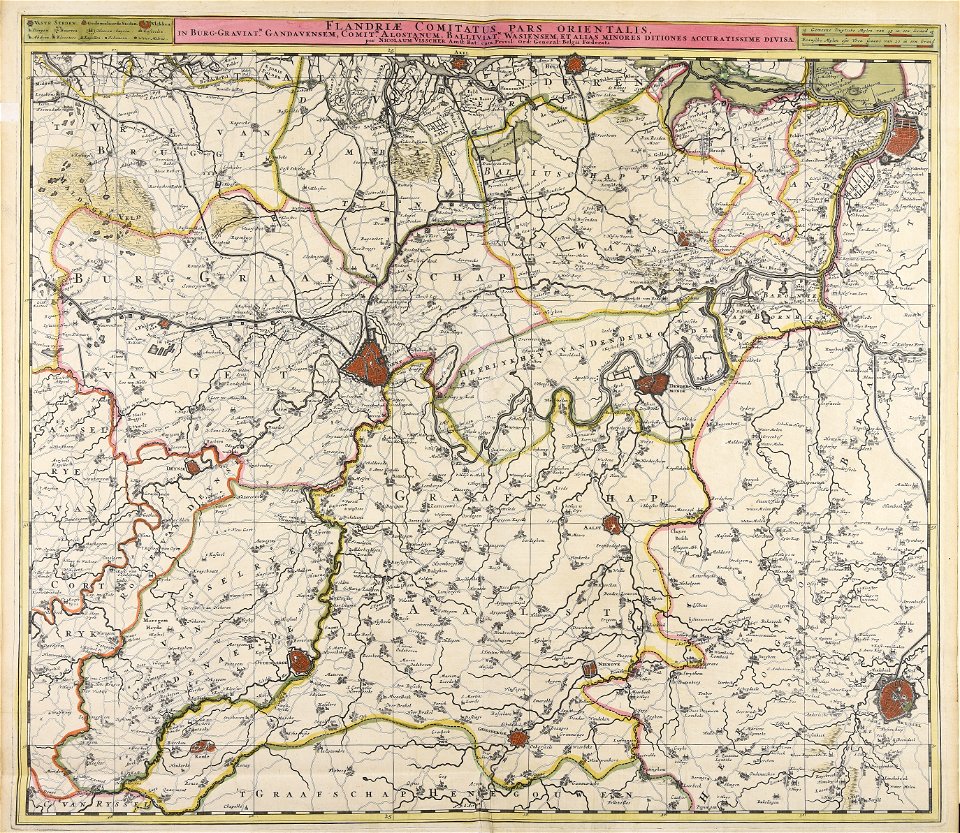
maps made in the 17th century
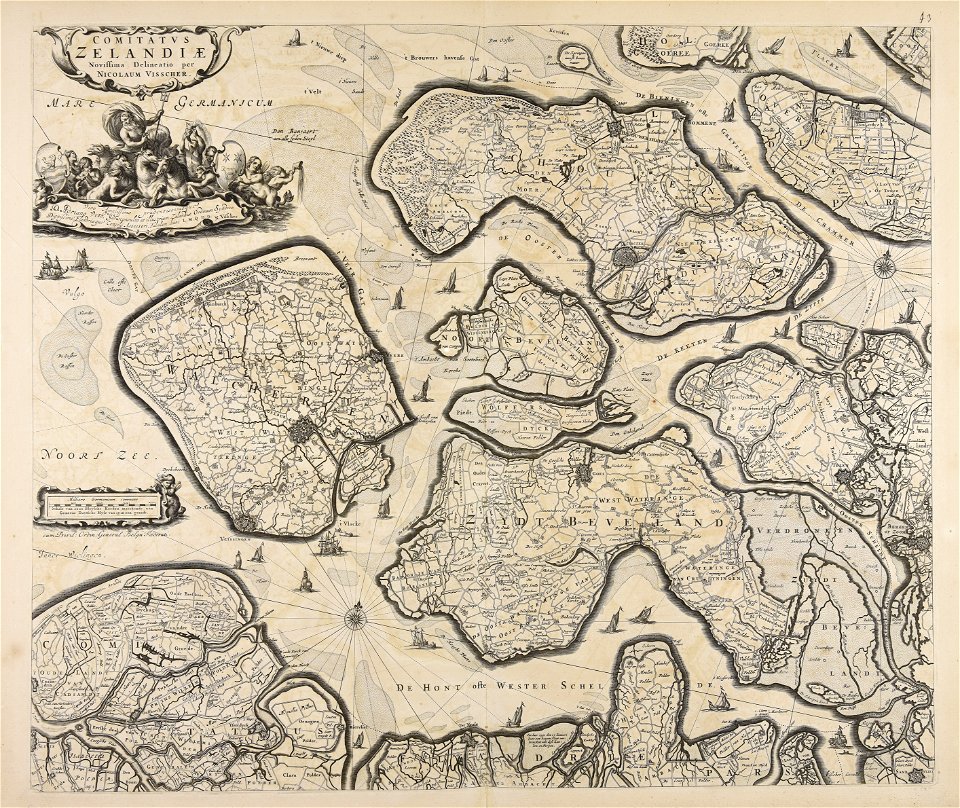
nicolaes visscher ii
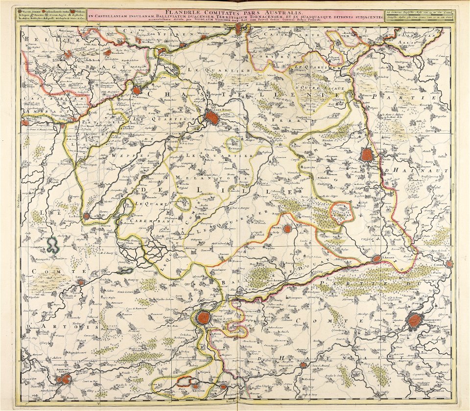
maps made in the 17th century
nicolaes visscher ii
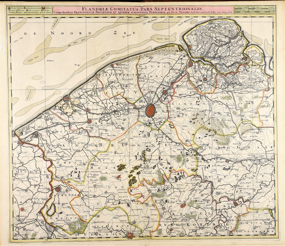
maps made in the 17th century
nicolaes visscher ii
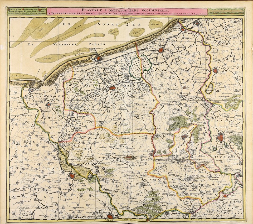
maps made in the 17th century
nicolaes visscher ii
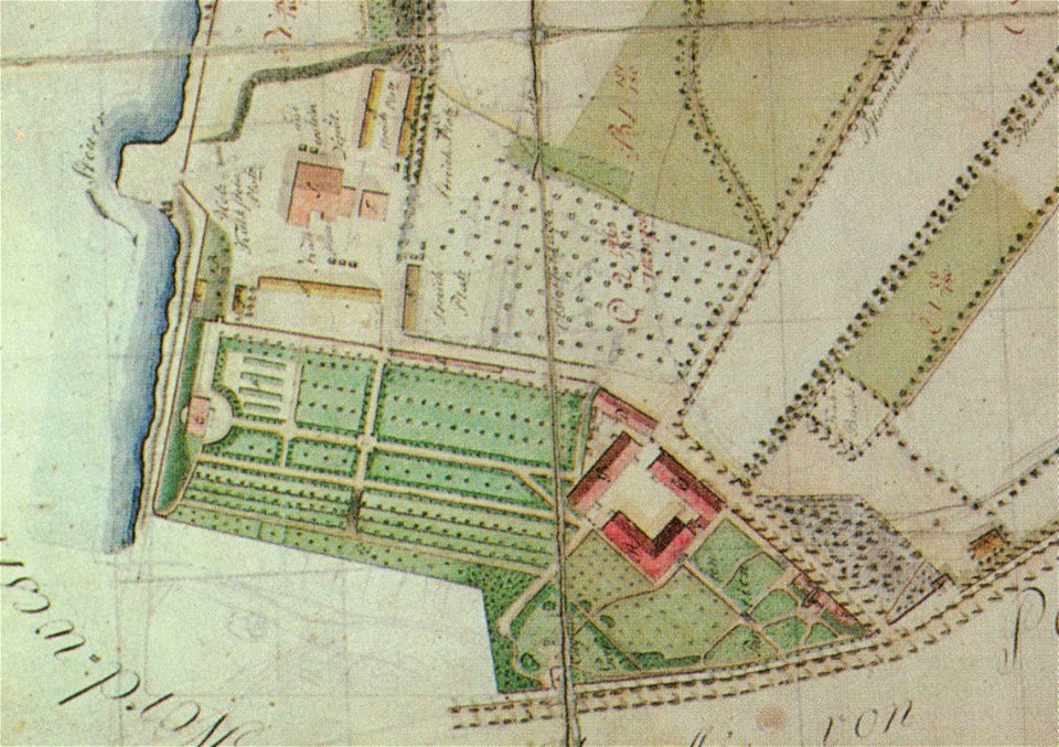
pleasureground (klein-glienicke)
parts of old maps of berlin
atlantis magni tomus quintus (biblioteca comunale di trento)
maps made in the 18th century
maps made in the 17th century
nicolaes visscher ii
maps made in the 17th century
nicolaes visscher ii
maps made in the 17th century
nicolaes visscher ii
maps made in the 17th century
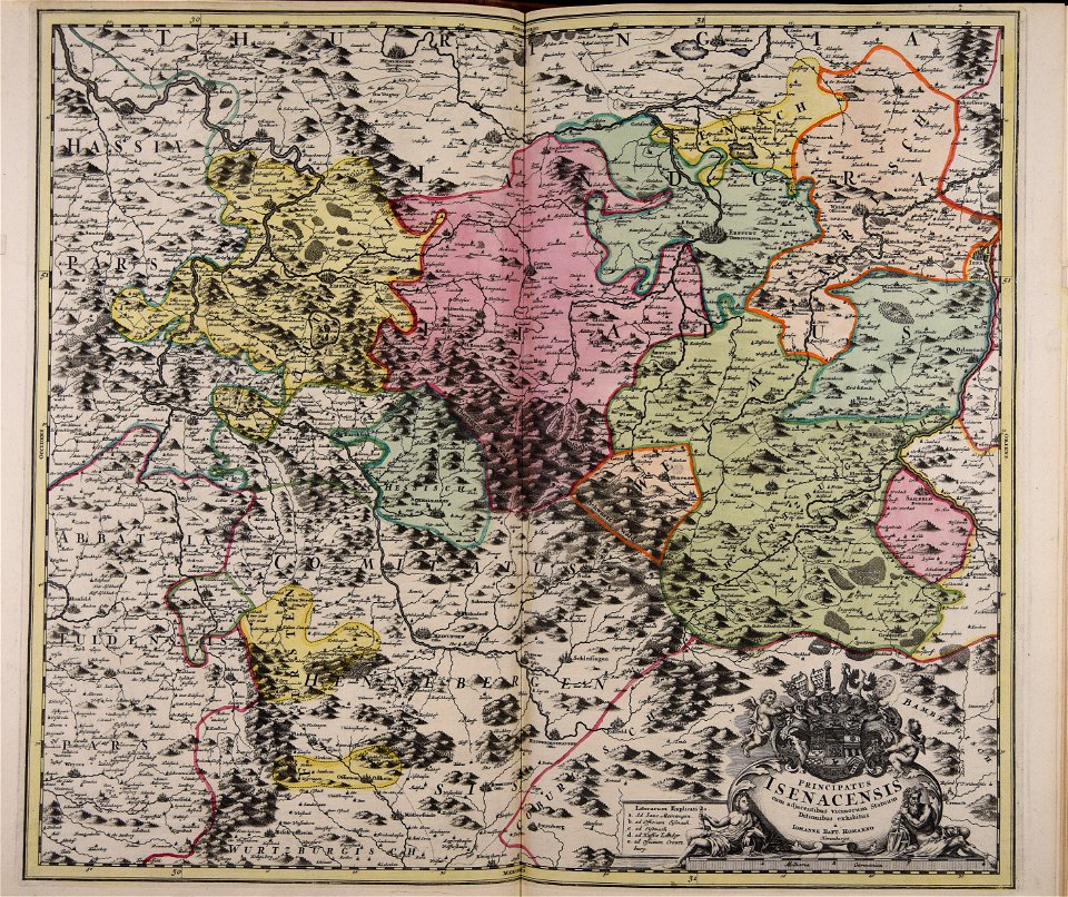
jan janssonius
maps made in the 18th century
johann baptist homann
maps by willem and johannes blaeu
1649
maps made in the 18th century
johann baptist homann
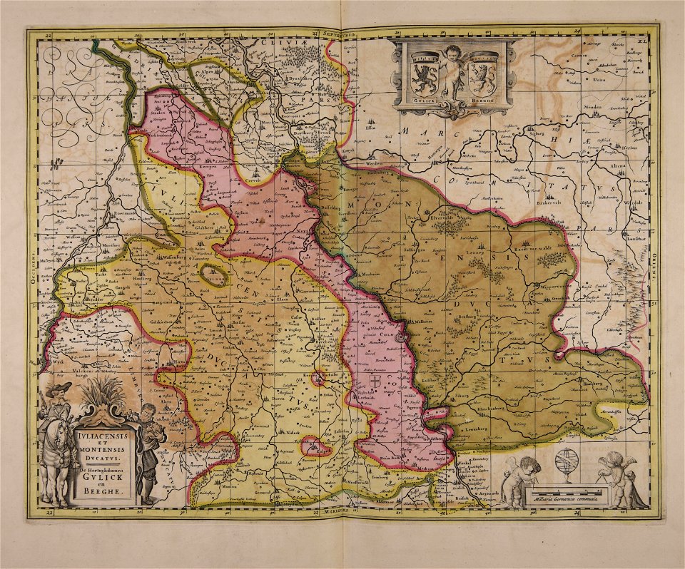
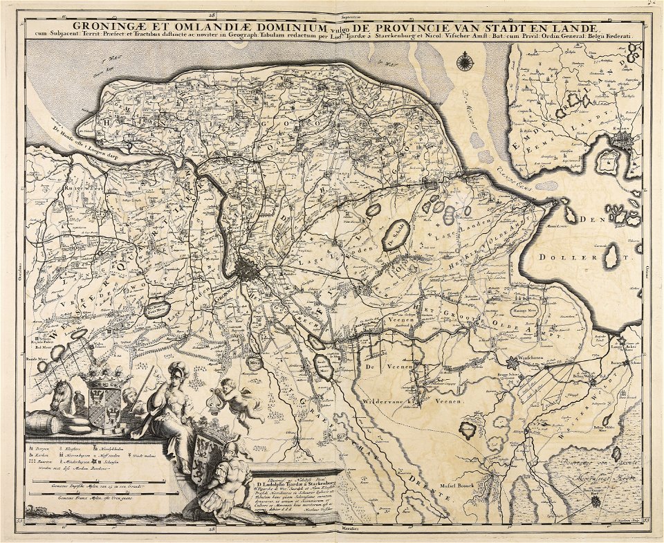
maps made in the 17th century
old maps of gelderland
fonds ancely - bibliothèque municipale de toulouse - maps
françois arago
maps made in the 18th century
johann baptist homann
maps made in the 18th century
gerard van keulen
maps made in the 16th century
old maps of lazio
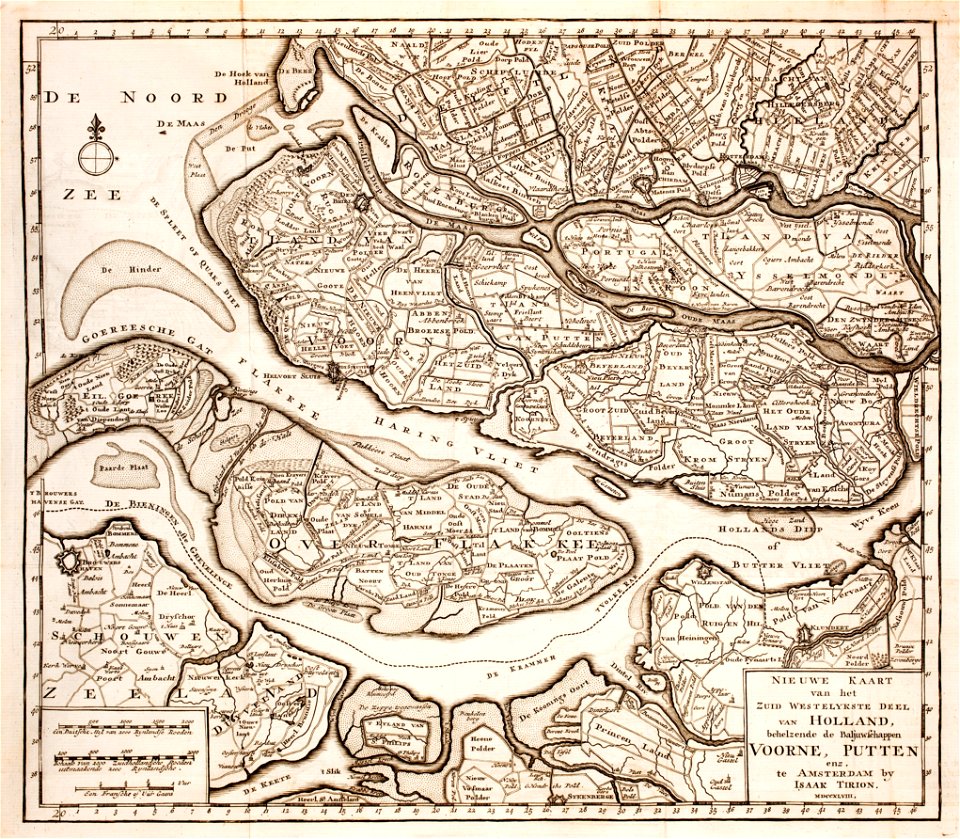
old maps of zeeland
old maps of holland
maps made in the 17th century
jan janssonius
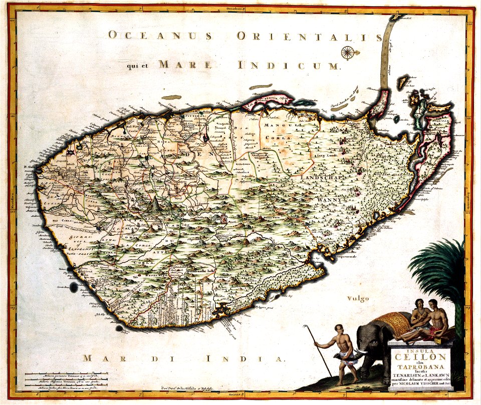
old maps of sri lanka
koral
engravings after peter paul rubens
harvard university
maps made in the 18th century
johann baptist homann
maps made in the 16th century
old maps of lombardy
atlantis magni tomus tertius (biblioteca comunale di trento)
maps made in the 17th century
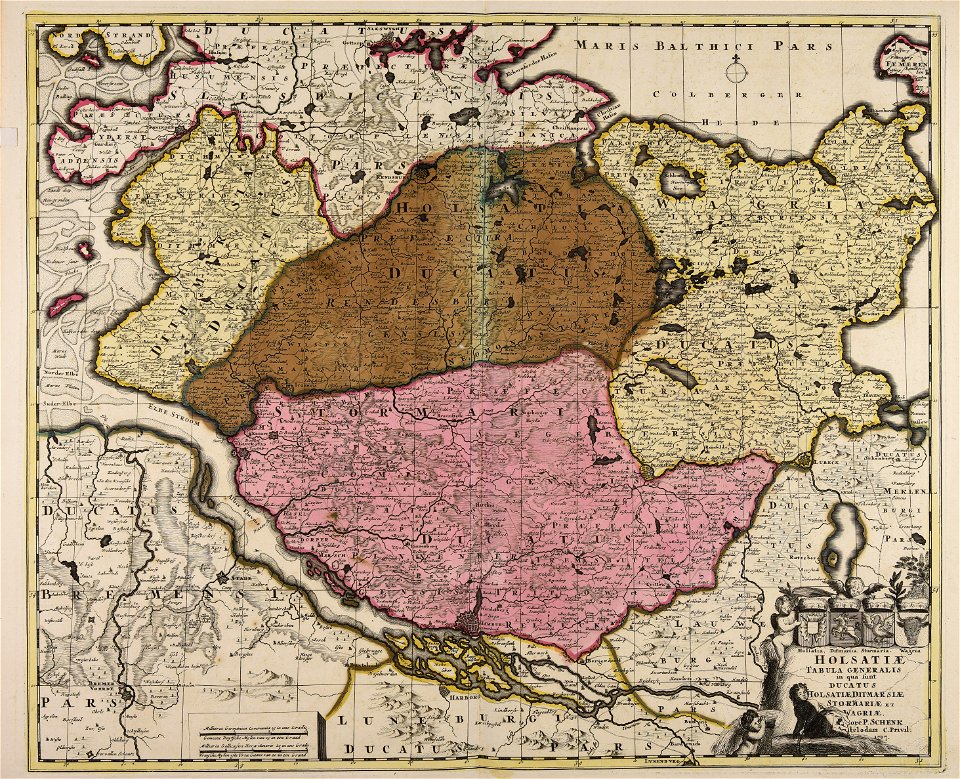
18th-century maps of schleswig-holstein
maps by pieter schenk (i)
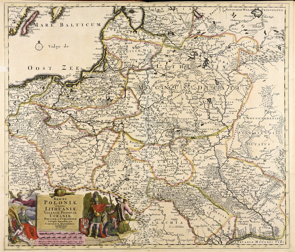
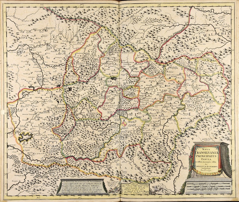
maps made in the 17th century
cornelis danckerts (i)
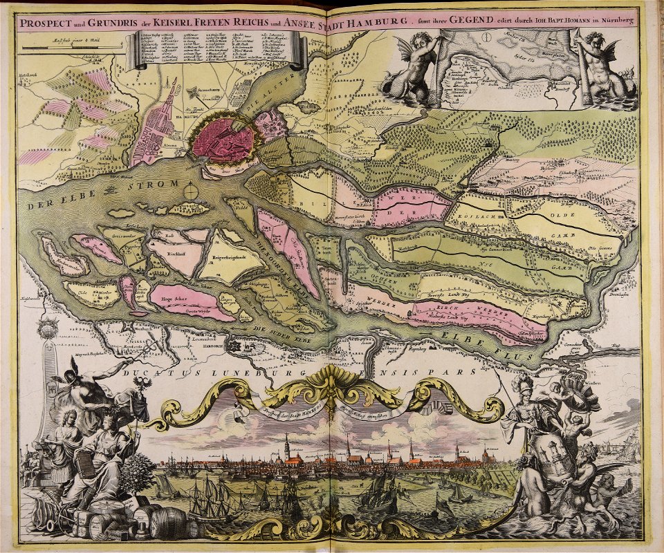
maps made in the 18th century
johann baptist homann
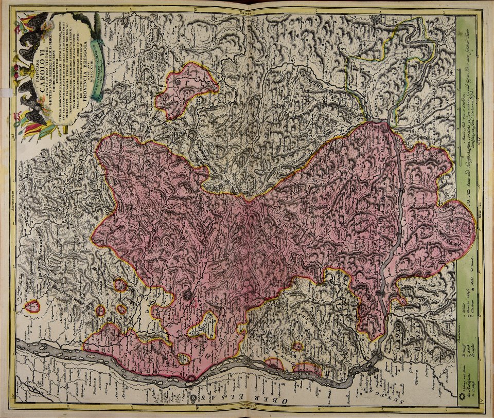
maps made in the 18th century
johann baptist homann
maps made in the 18th century
johann baptist homann
maps made in the 18th century
johann baptist homann
maps made in the 18th century
johann baptist homann
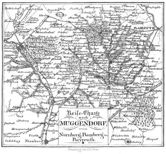
old maps of nuremberg
johann baptist homann
charts and maps of the royal museums greenwich
1590 maps
maps made in the 17th century
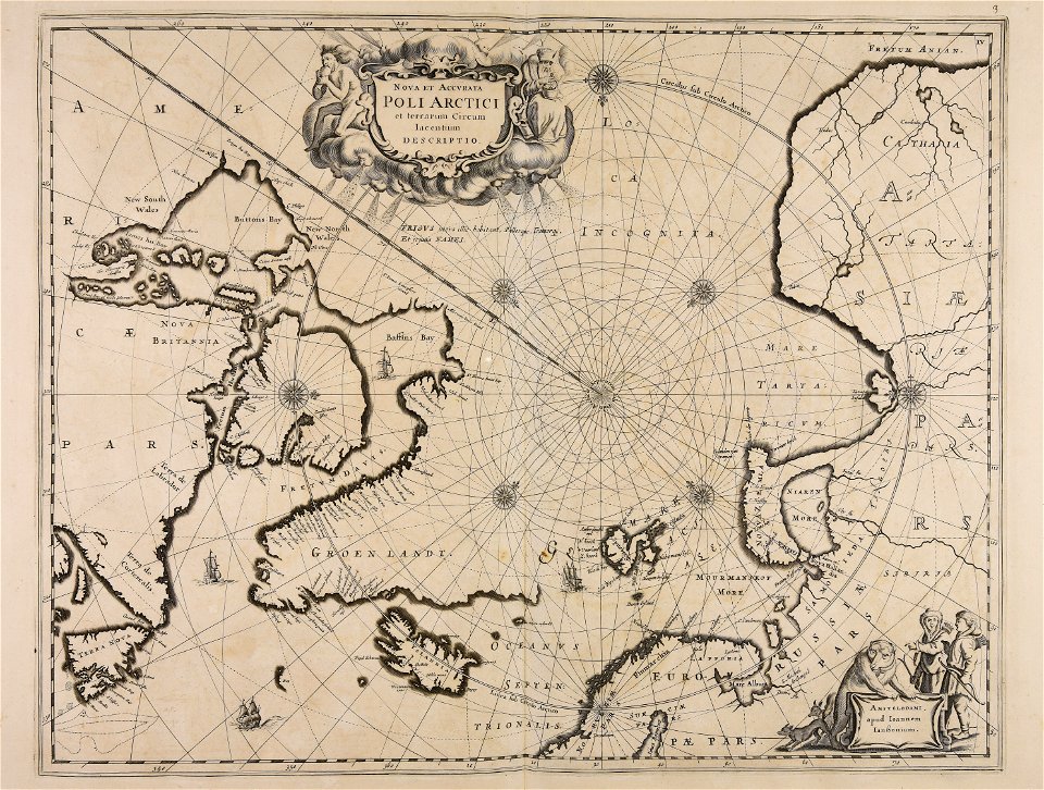
old celestial maps
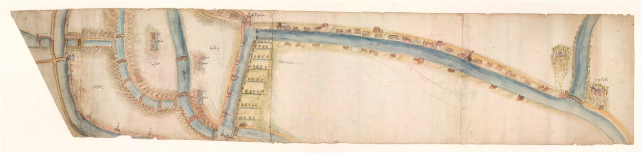
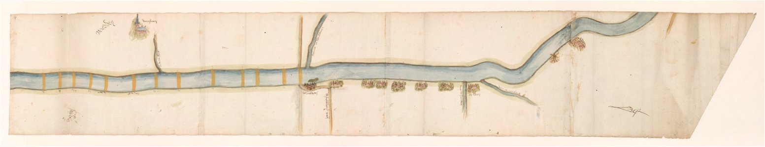
maps of waterways in the netherlands
leiden
maps of waterways in the netherlands
voorschoten
atlantis magni tomus quintus (biblioteca comunale di trento)
maps made in the 17th century
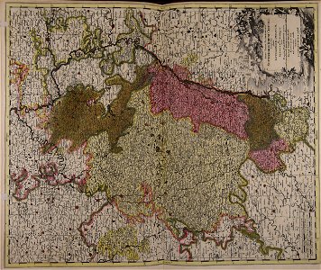
maps made in the 18th century
maps by pieter schenk (i)
maps made in the 18th century
gerard valck
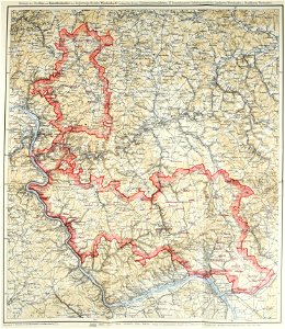
images from bau- und kunstdenkmäler des regierungsbezirks wiesbaden (volume 5)
german-language maps showing history of europe
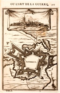
old maps of landrecies
pentagon
gerard valck
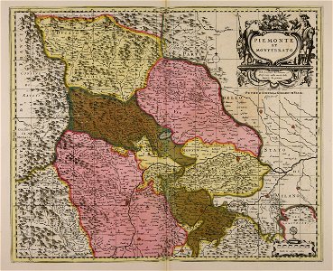
piedmont
maps made in the 17th century
jan janssonius
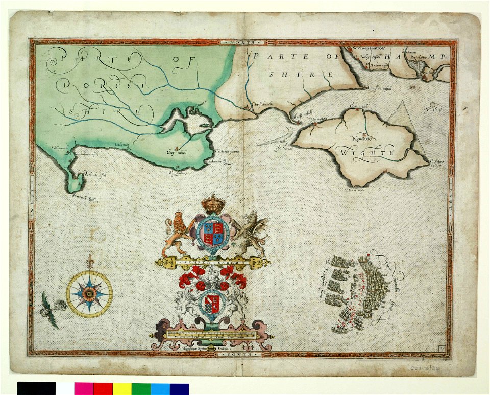
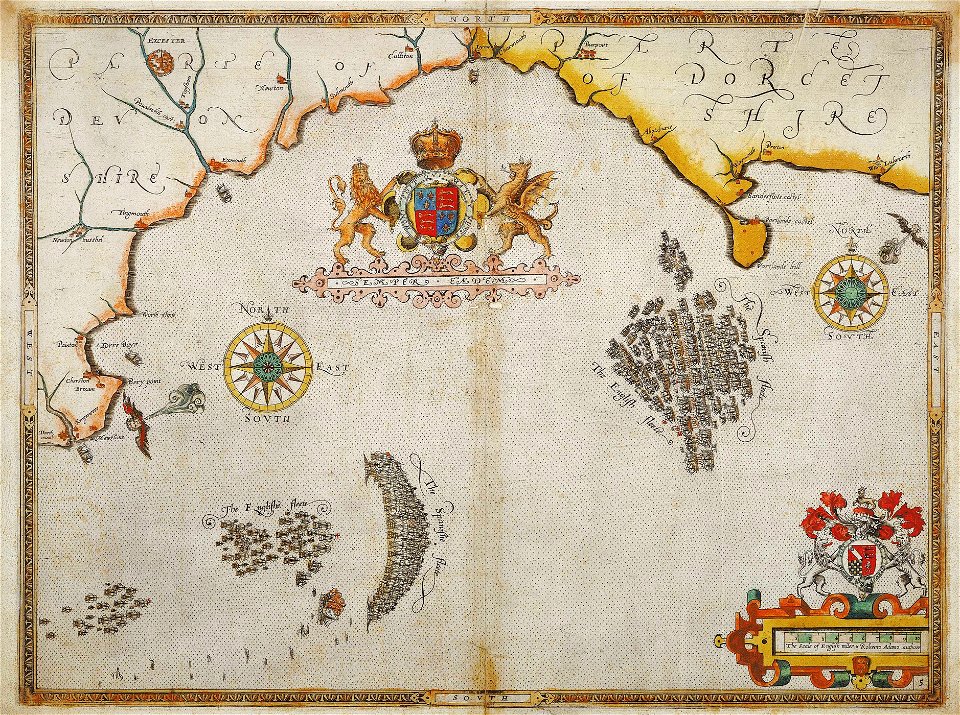
charts and maps of the royal museums greenwich
1590 maps
charts and maps of the royal museums greenwich
1590 maps
charts and maps of the royal museums greenwich
1590 maps
charts and maps of the royal museums greenwich
1590 maps
charts and maps of the royal museums greenwich
1590 maps
charts and maps of the royal museums greenwich
1590 maps
charts and maps of the royal museums greenwich
1590 maps
charts and maps of the royal museums greenwich
1590 maps
charts and maps of the royal museums greenwich
1590 maps
maps made in the 17th century
jan janssonius
maps made in the 17th century
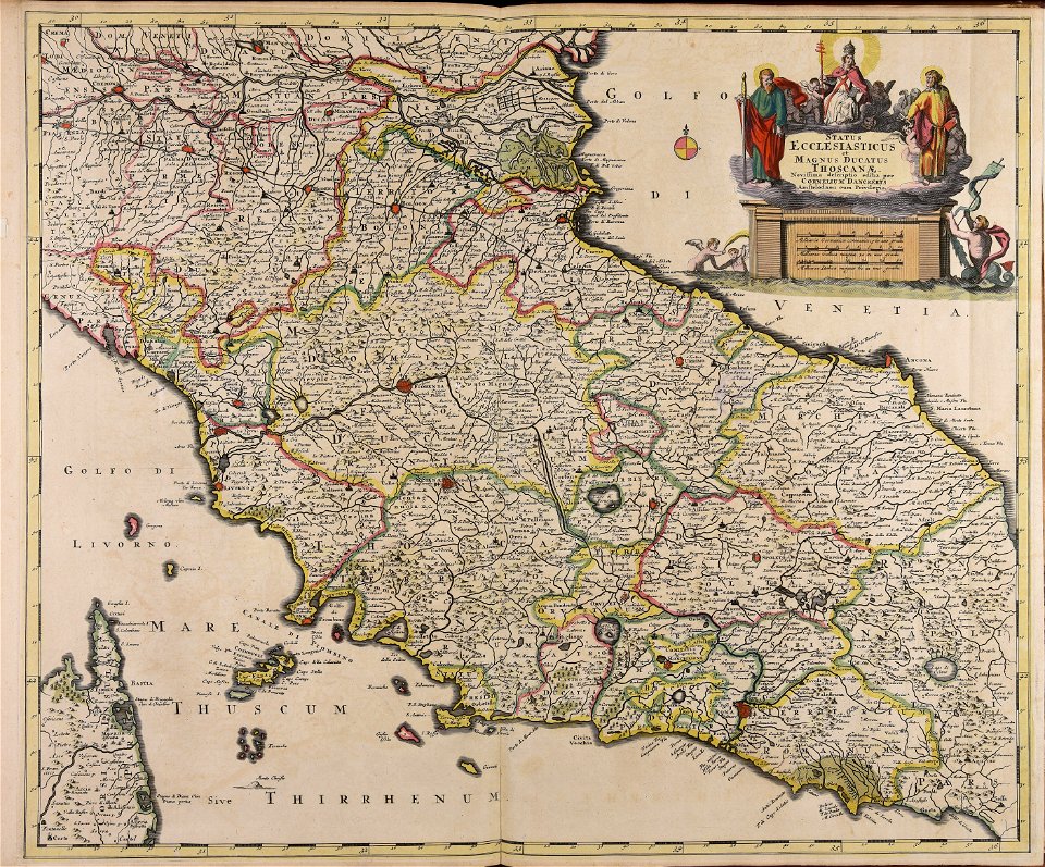
old maps of italy
charts and maps of the royal museums greenwich
1590 maps
charts and maps of the royal museums greenwich
1590 maps
charts and maps of the royal museums greenwich
1590 maps
charts and maps of the royal museums greenwich
1590 maps
charts and maps of the royal museums greenwich
1590 maps
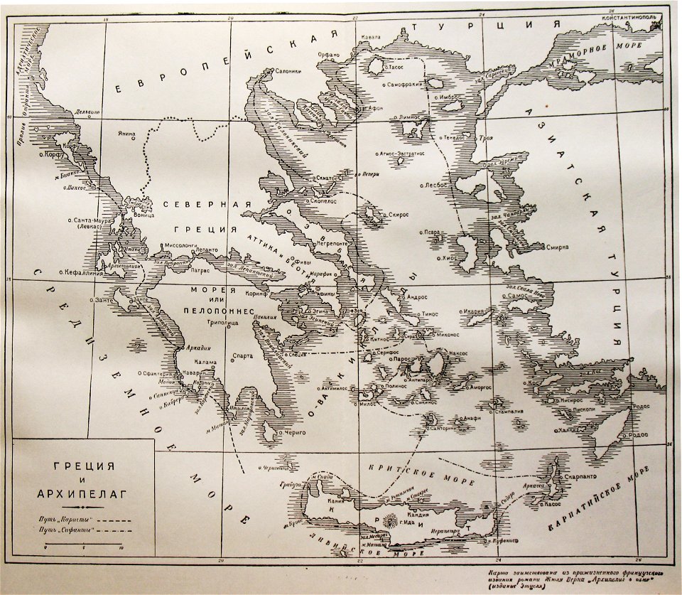
russian-language maps
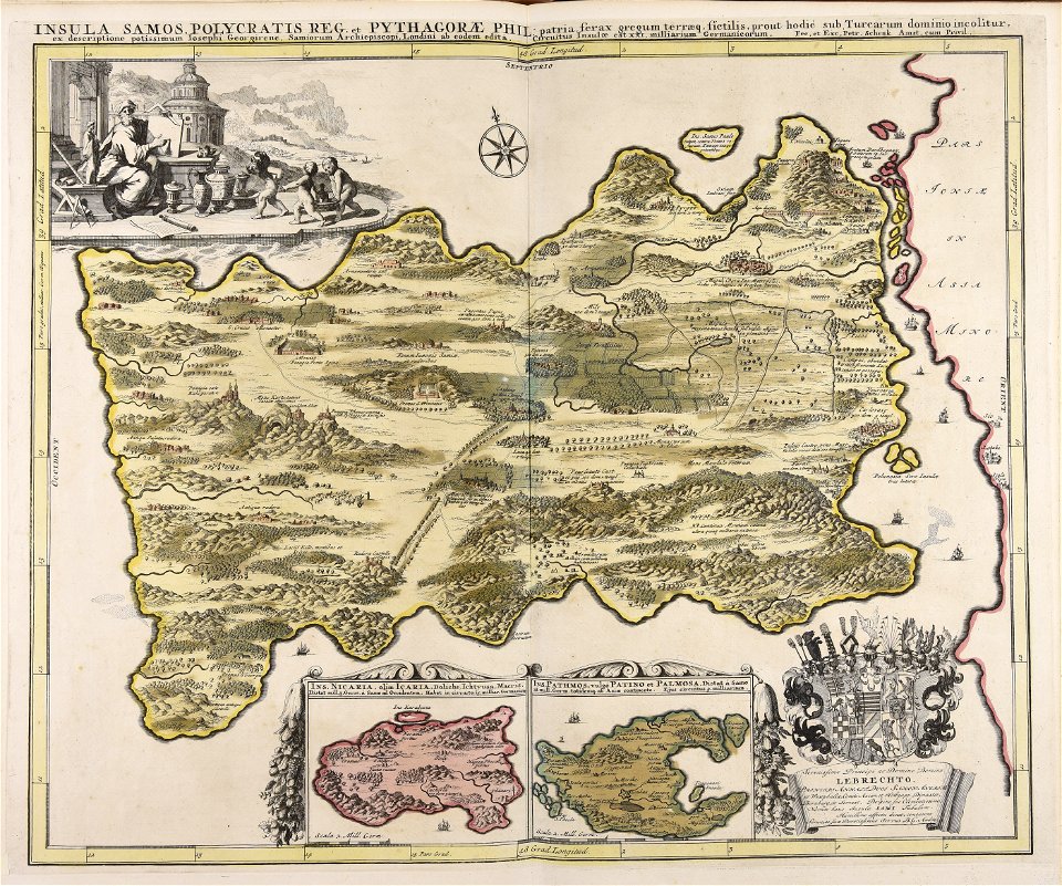
old maps of greece
old maps of the sea of azov
1856 maps
charts and maps of the royal museums greenwich
1590 maps
maps made in the 18th century
gerard valck
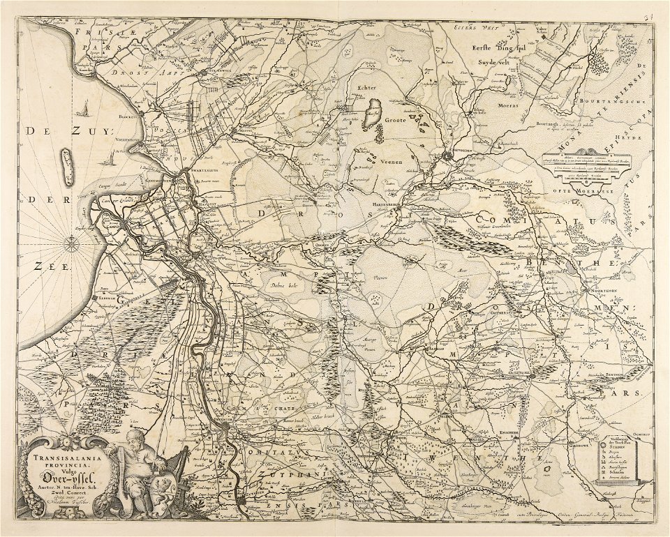
maps made in the 17th century
old maps of overijssel
charts and maps of the royal museums greenwich
1590 maps
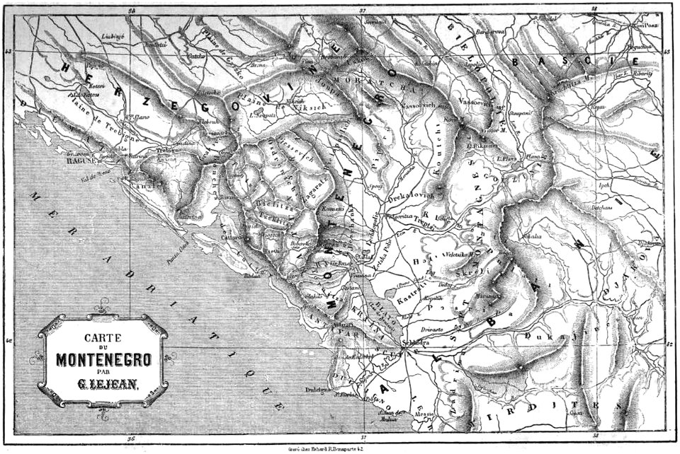
volume 1 of le tour du monde
maps of the bay of kotor
maps made in the 17th century
nicolaes visscher ii
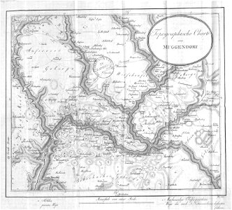
collections of staatsbibliothek bamberg
franconian switzerland
collections of staatsbibliothek bamberg
franconian switzerland
atlantis magni tomus tertius (biblioteca comunale di trento)
maps made in the 17th century
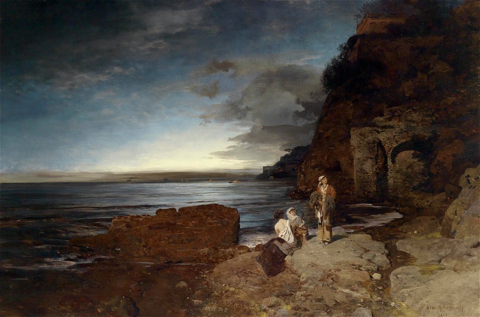
19th-century landscape paintings of italy
gulf of naples
19th-century landscape paintings in the nasjonalmuseet for kunst
arkitektur og design
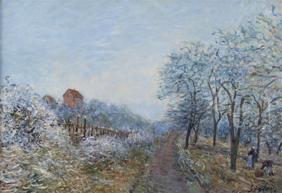
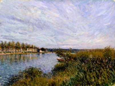
paintings by alfred sisley in the united states
alfred sisley
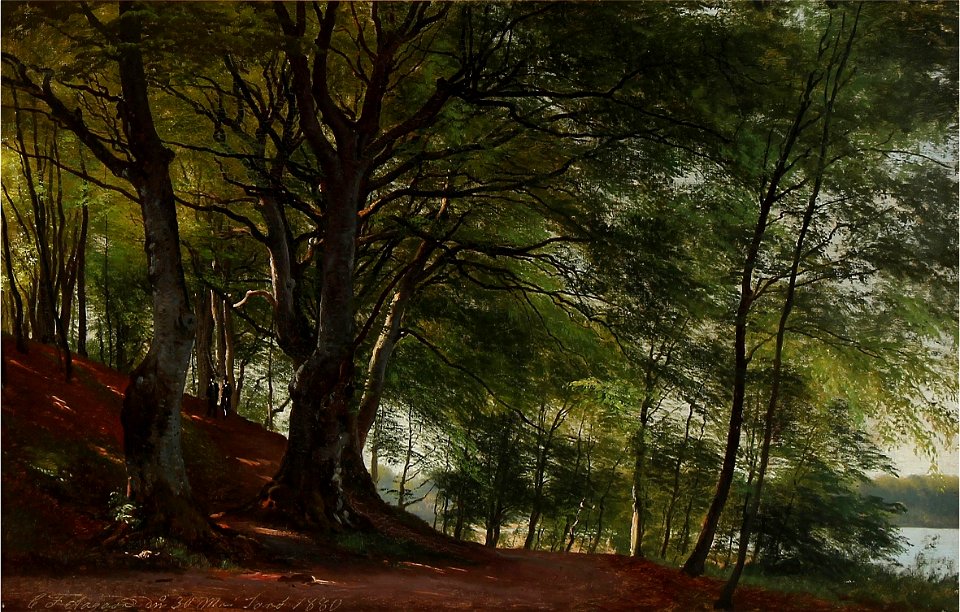
landscape paintings of denmark
paintings of forests
1880s paintings in france
alfred sisley
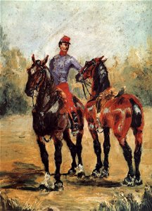
early works by henri de toulouse-lautrec
1880 paintings
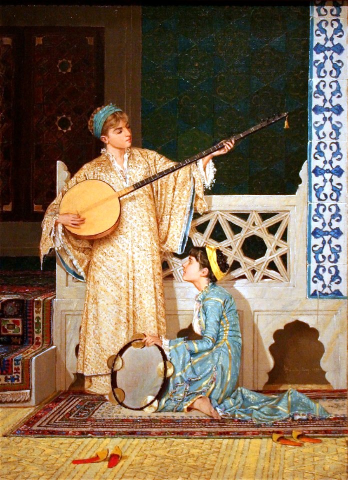
history of lute-family instruments
1880 paintings
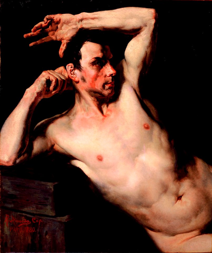
male toplessness in paintings
male armpits
paintings in the musée d'orsay
1880 paintings
1880
1870
landscape paintings in the österreichische galerie belvedere
bergisel
caricatures of wilhelm ii of germany
cornell university library
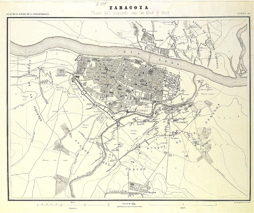
second siege of zaragoza
1868
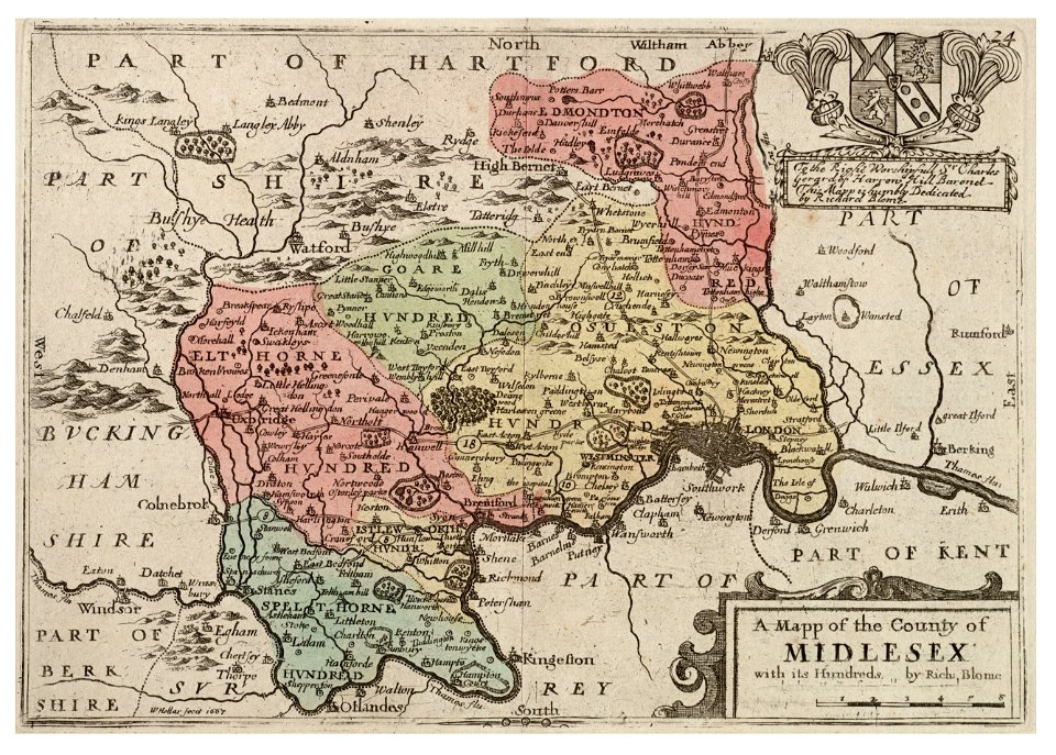
university of toronto wenceslas hollar digital collection
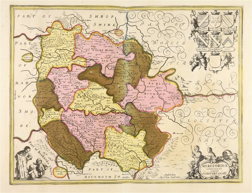
surrey
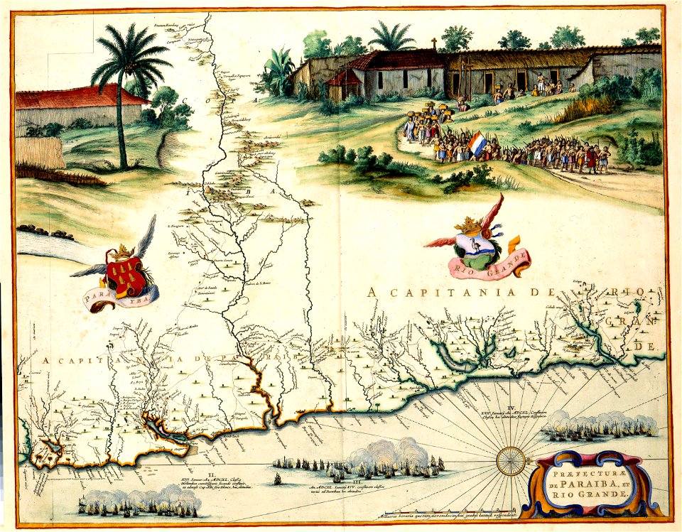
atlas van der hagen (volume 4)
maps with cartouches
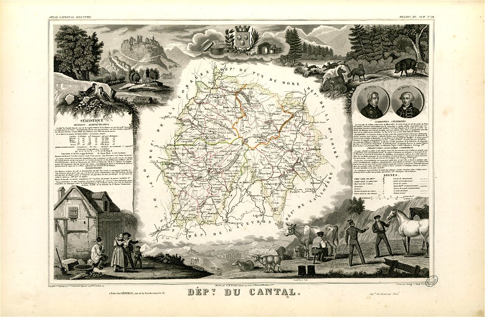
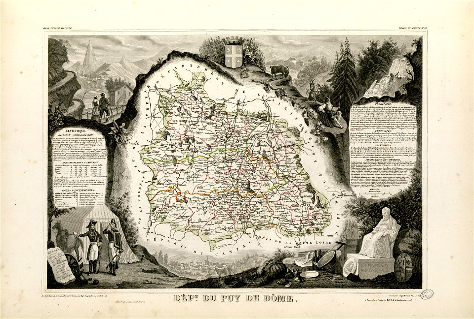
coats of arms of cities in cantal
pierre laurent buirette de belloy
coats of arms of cities in puy-de-dôme
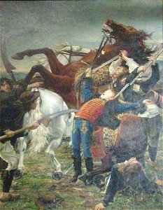
vercingetorix
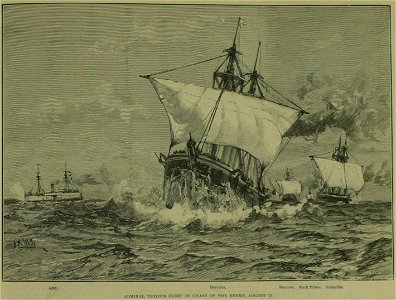
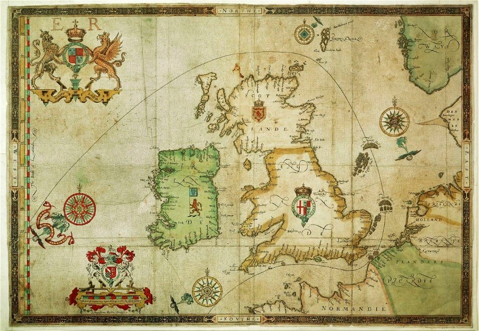
the track of the armada around britain and ireland
london
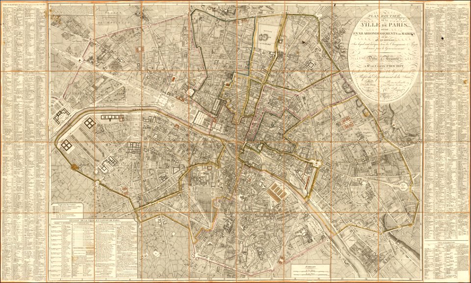
maps of paris from the barry lawrence ruderman antique maps inc.
1814 in paris
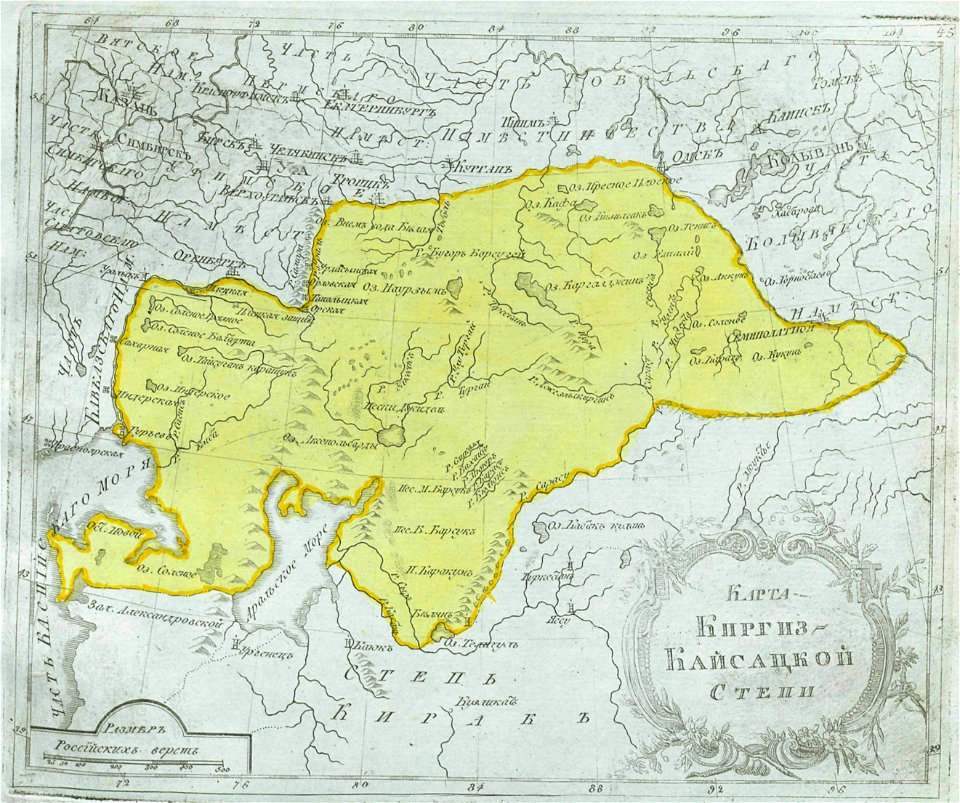
maps of central asia
maps of kazakhstan
fortifications in the netherlands
history of tiel
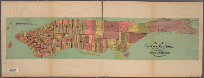
manual of the corporation of the city of new york (1870)
new york city
7701 - 7800 of 39,546
Next page
/ 396